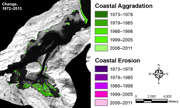
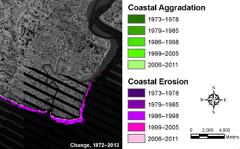
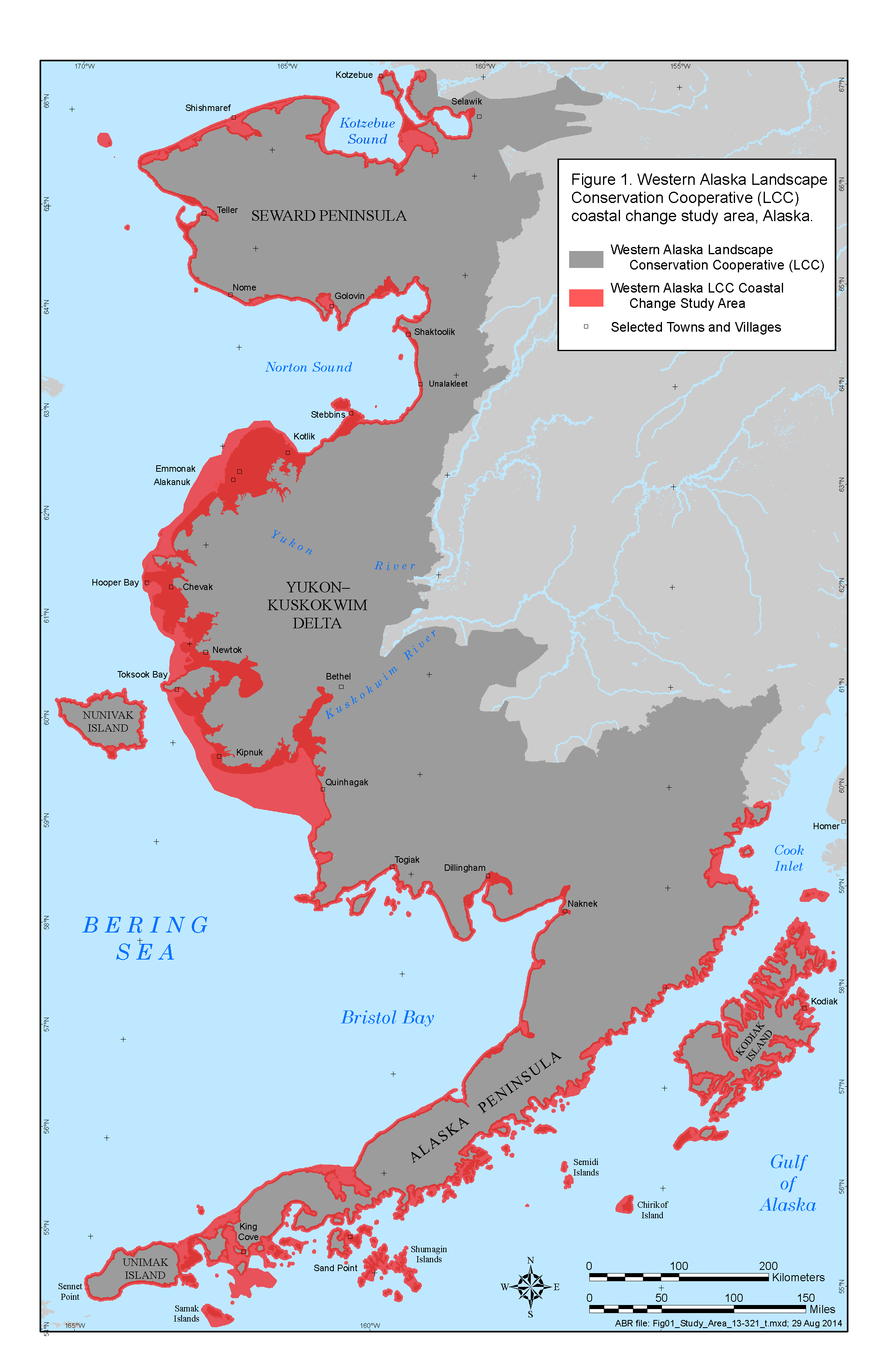
With this analysis, changes can be summarized for different land ownerships or other units to assess the extent of recent habitat loss. Hotspots of change identified by the wide coverage of the mapping are available to provide guidance on selecting areas for monitoring or for more intensive research (e.g., terrain sensitivity analysis). An interactive online map of the results is available here.
Products
Comments are closed.
|
|||||||||||||||||||||||||||||||||